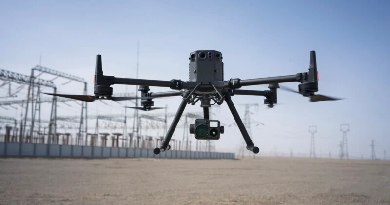
Our Aerial survey services provide clients with accurate and detailed data about a particular area or site. By utilizing UAVs equipped with advanced imaging technology, we capture high-resolution imagery, 3D models, and digital elevation models. Our Aerial survey services include:
Aerial Survey
Accurate and Full-Colour orthomosaics
We generate orthomosaic maps that combine multiple images to create a high-resolution, georeferenced representation of the surveyed area. These maps provide clients with accurate and detailed visual information for analysis and planning.
3D Models and Digital Elevation Models
Using advanced photogrammetry techniques, we create 3D models and digital elevation models (DEMs) of surveyed areas. These models enable clients to visualize and analyze the topography, contours, and elevation variations of the site.
Measurements
We provide precise measurements such as GPS coordinates, lengths, areas and volumes. Using the data collected during the area survey, we accurately measure distances, areas, and volumes of specific features or objects within the surveyed site. These measurements assist in various applications such as land development, infrastructure planning, and construction projects.
Elevation Profiling
Our area survey services include detailed elevation profiling, which allows clients to understand the vertical variations and slopes within a surveyed area. This information is vital for infrastructure projects, drainage planning, and terrain analysis.
High Accuracy (down to 2cm horizontally & 5 cm vertically)
We pride ourselves on delivering highly accurate survey data. With cutting-edge technology and precise data processing techniques, we achieve accuracy levels of up to 2cm horizontally and 5cm vertically. This level of accuracy ensures reliable data for engineering, construction, and land management purposes.

Our area survey services cater to a wide range of industries and sectors, including government agencies, real estate companies, infrastructure developers, and individual landowners. Whether it’s for land assessment, site planning, or environmental analysis, our services provide clients with valuable insights and data to make informed decisions.
